Here’s how officials want to manage visitation in Colorado’s most popular national forest

SUMMIT COUNTY, Colo. — If Summit County were its own national forest, it would be the most visited one in the country.
That’s how Dillon Ranger District Recreation Program Manager Sam Massman put it during an April 23 Summit Board of County Commissioners meeting, where he and other recreation officials presented a plan for how to mitigate the area’s ever-growing visitation.
The Dillon Ranger District, which encompasses all of Summit County, is the most popular district within Colorado’s busiest national forest — White River. In 2022, the district saw 8.4 million visitors, accounting for nearly half of all visitation in the national forest that year, according to Massman.
When it comes to nonskier recreation, officials say they’ve seen an 80% increase, the majority of which were on trails, between 2017 and 2022 when visitation rose to over 2 million. For officials, it prompted a need for a countywide management approach that includes all local government jurisdictions working together.
“I think we all know this has been a busy place for recreation, but we really felt it in the last couple of years,” said District Ranger Adam Bianchi. “At the end of the day, I think we’re always playing catchup. The whole purpose of this initiative is to really try to get out ahead and work across boundaries.”
For more than a year, the ranger district has been working with the Summit County Open Space and Trails Department to study the needs of the area and develop a toolbox of solutions that they hope can work for the county as a whole.

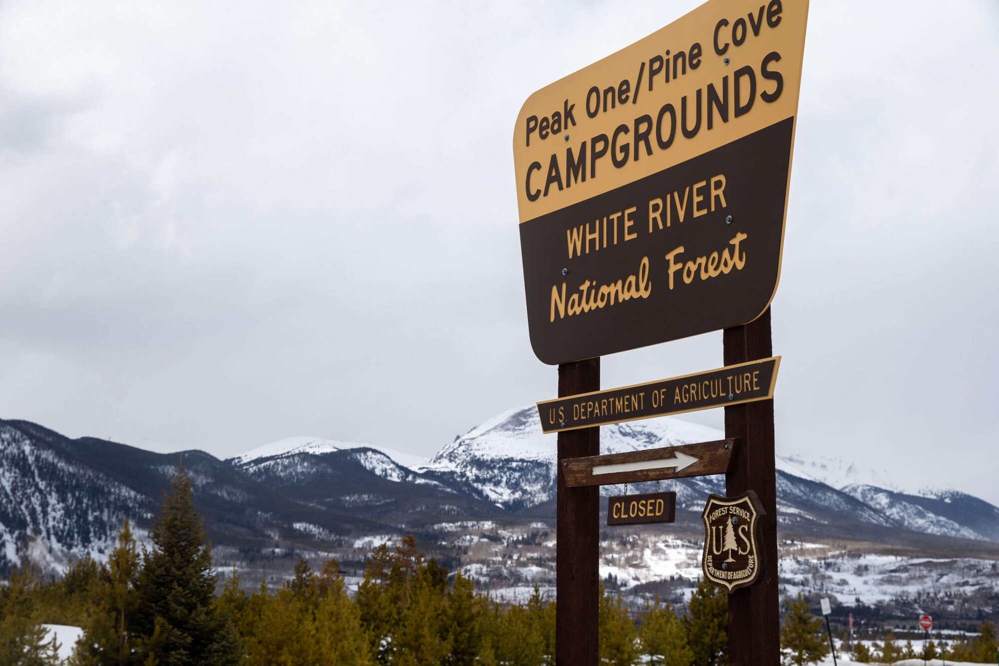
A White River National Forest sign is pictured on March 27, 2022. Between 2017 and 2022, non-skier visitation to the forest's Dillon Ranger District increased by 80%, the majority of which was on trails.
Photo: Liz Copan, Summit Daily News
“Specifically for this project, we’ve focused a bit on trailheads because as those crowds have increased, we haven’t developed bathrooms, we haven’t added trash cans, we haven’t really done much to accommodate them,” Massman said.
Without more proactive planning, officials say the county is at risk of further traffic and parking congestion, illegal parking, safety concerns and damage to the natural environment.
Massman noted that county officials recently took steps to address these issues at Quandary Peak, which became the state’s most visited 14er during the first year of the COVID-19 pandemic. Officials succeeded in curbing usage last year after introducing a shuttle system in 2022 along with a revamped parking system. Both initiatives were aimed at limiting visitors’ car dependency.
In many ways that district-wide plan seeks to build off those efforts with ideas like expanding microtransit services for hikers, implementing a real-time parking availability system for different trailheads and consolidating and coordinating parking for trailheads across jurisdictions.
With help from a third-party consultant, the U.S. Transportation Department’s Volpe National Transportation Systems Center, officials have begun to identify some of the most high-use trails in need of additional infrastructure and service.
Because many trailheads that provide access to national forest land are within town or county boundaries, cooperation from all jurisdictions is key, said Ben Rasmussen, public lands team lead for the Volpe Center.
Rasmussen gave the example of Frisco, where current lots are already largely at capacity for popular routes such as Miner’s Creek and Peak Zach’s Stop, which saw 46,000 and 59,000 visitors in 2022, respectively.
Through consulting with the town, the team created a list of proposed remedies that include improved road design, parking reconfiguration, bike parking at trailheads and more connectivity to existing public transit.
Because each trail is different, not all recommendations will work for each trailhead. For example, proposals for parking reservation systems were deemed unnecessary when it came to Miner’s Creek and Zach’s Stop trailheads.
“From the Forest Service perspective, I don’t want to make the decision on a trailhead that ultimately has an impact or negative impact on county land or town land,” said Bianchi, the district ranger. “So that is really the underlying intent here — is to get us all on the same page.”
Commissioners voiced their support for the collaborative effort and credited Forest Service and Open Space officials for not taking a blanket approach to the issue.
Commissioner Eric Mamula pointed to one of the group’s recommendations — a proposal to add new, designated parking to the Miner’s Creek trail — as an example of something that may be right for that area but not others.
“I don’t think it’s a one-size-fits-all (approach) of just increasing parking lots because visitation is up,” Mamula said. “I think we really do need to concentrate more on using transit, especially in the summers when it is easier.”
Commissioner Nina Waters added, “We have to do due diligence on our side of increasing and maintaining that transportation and getting it where it needs to be so that our guests and residents can utilize these connectivity pathways.”
As the group continues to develop ideas and collect feedback, Bianchi stressed that the recommendations remain a work in progress and that future discussion with community stakeholders, such as neighborhoods, is “still going to be needed.”
