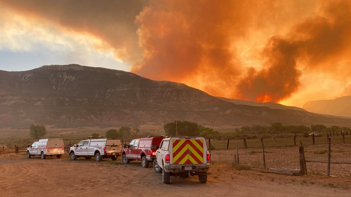
Pine Gulch Fire smoke spans state, expert team called to battle blaze

Smoke from the Pine Gulch Fire just 18 miles north of Grand Junction covers over half the state of Colorado, and more is expected as the fire grows.
Shawna Hartman is the Public Information Officer with the Rocky Mountain Area Team Black, and says that a Rocky Mountain Area Type 1 Team—the highest level of incident management teams—took command of the fire at 6:00 a.m. on Friday, August 14.
“The reason for this transition from the Type 2 Team to the Type 1 Team is the increased complexity of the Pine Gulch Fire. It is growing in acreage, and more resources continue to arrive. We are bringing in this higher-level of incident management team,” Hartman said.
The Pine Gulch fire, which began July 31 after a lightning strike, has already burned over 125,000 acres. At least 745 personnel are working to contain the blaze. The fire is the second largest in Colorado’s history, and it’s still growing.

To make matters more challenging, current weather conditions are making it easier for the fire to spread. According to the governor’s office, the entire state is under drought or “abnormally dry conditions.”
Starting August 14, Rocky Mountain National Park implemented a total fire ban until further notice.
On August 19, Gov. Polis announced a statewide, 30-day fire ban.
The fire was so large the night of August 19 that the fire produced lightning.
Hartman added that the current focus is to keep fire on the west and south of Garfield County Road 204. The town of DeBeque is not in danger, but there are residents along the C.R. 204 who have been evacuated.
Resources
To find the most up to date information on the Pine Gulch Fire, including evacuations, go to the Pine Gulch Fire Facebook page.
Areas under evacuation are being mapped on the National Interagency Fire Center's website.
The National Wildfire Coordinating Group’s incident website is also a good resource, as it shows the fire's spread and the percent of the fire that has been contained.
To track live updates on how smoke from the fire is moving around our state, visit NOAA’s website and click “Maps.”
